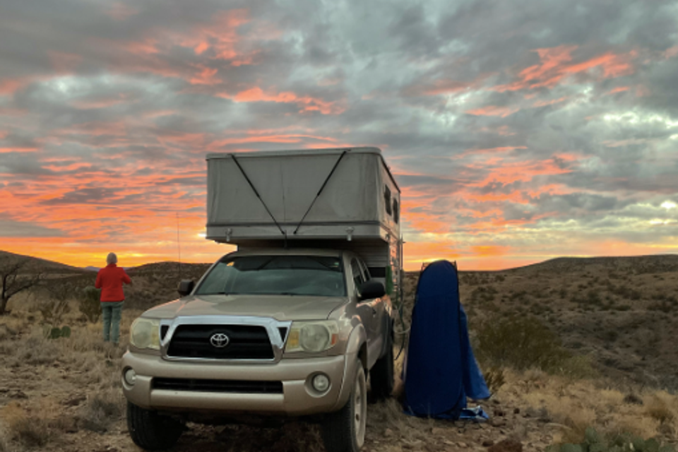
7 Best 4x4 Trails in Arizona for Your Toyota Tacoma (With Google Maps Links)
Arizona is a playground for off-roaders, and the Toyota Tacoma is one of the best rigs to conquer its terrain. Whether you’re looking for rock crawling, desert runs, or forest trails, Arizona’s got you covered. Here are 7 of the best 4x4 spots in Arizona to test your Tacoma’s capabilities—each with GPS coordinates linked to Google Maps.

1. Backway to Crown King
Difficulty: Hard
Why Go: Legendary trail with steep climbs, rock gardens, and killer views.
Google Maps: Backway to Crown King Trailhead
Coordinates: 33.9124° N, 112.2736° W
This iconic trail starts near Lake Pleasant and climbs into the Bradshaw Mountains. It’s challenging, especially after rain—ideal for lifted Tacomas with armor and lockers.

2. Broken Arrow Trail – Sedona
Difficulty: Moderate
Why Go: Short, technical trail through Sedona’s red rock wonderland.
Google Maps: Broken Arrow Trailhead
Coordinates: 34.8551° N, 111.7615° W
One of the most famous off-road trails in Arizona. Expect slickrock climbs, ledges, and stunning photo ops like Chicken Point and Submarine Rock.
Why Go: Short, technical trail through Sedona’s red rock wonderland.
Google Maps: Broken Arrow Trailhead
Coordinates: 34.8551° N, 111.7615° W
One of the most famous off-road trails in Arizona. Expect slickrock climbs, ledges, and stunning photo ops like Chicken Point and Submarine Rock.

3. Box Canyon – Florence, AZ
Difficulty: Easy to Moderate
Why Go: A fun, scenic canyon trail perfect for stock or slightly modded Tacomas.
Google Maps: Box Canyon Entrance
Coordinates: 33.0263° N, 111.2008° W
This route offers a taste of everything—sand, rock, narrow canyon walls, and water crossings during monsoon season. Great for newer off-roaders.
Why Go: A fun, scenic canyon trail perfect for stock or slightly modded Tacomas.
Google Maps: Box Canyon Entrance
Coordinates: 33.0263° N, 111.2008° W
This route offers a taste of everything—sand, rock, narrow canyon walls, and water crossings during monsoon season. Great for newer off-roaders.

4. Charouleau Gap – Catalina, AZ
Difficulty: Hard
Why Go: Remote and technical with gnarly terrain and incredible desert views.
Google Maps: Charouleau Gap Trailhead
Coordinates: 32.4453° N, 110.7661° W
This trail near Tucson is known for steep climbs, large boulders, and serious 4x4 challenges. A built Tacoma with good tires and clearance is a must.

5. Smiley Rock Trail – Jerome to Prescott
Difficulty: Moderate to Difficult
Why Go: Mountain trail with rocky obstacles, switchbacks, and the famous “Smiley Rock.”
Google Maps: Smiley Rock Trail Start
Coordinates: 34.7445° N, 112.1154° W
This rugged trail runs through the Mingus Mountains and offers great variety—from dense forest to rocky ledges. Best during dry seasons.
Why Go: Mountain trail with rocky obstacles, switchbacks, and the famous “Smiley Rock.”
Google Maps: Smiley Rock Trail Start
Coordinates: 34.7445° N, 112.1154° W
This rugged trail runs through the Mingus Mountains and offers great variety—from dense forest to rocky ledges. Best during dry seasons.

6. Redington Pass – Tucson
Difficulty: Easy
Why Go: Scenic desert drive perfect for a casual 4x4 day with your Tacoma.
Google Maps: Redington Pass Trailhead
Coordinates: 32.2639° N, 110.6442° W
A popular trail east of Tucson, Redington offers mellow dirt roads, open desert views, and great spots to pull off and relax.
Why Go: Scenic desert drive perfect for a casual 4x4 day with your Tacoma.
Google Maps: Redington Pass Trailhead
Coordinates: 32.2639° N, 110.6442° W
A popular trail east of Tucson, Redington offers mellow dirt roads, open desert views, and great spots to pull off and relax.

7. Harquahala Mountain Trail – Aguila, AZ
Difficulty: Moderate
Why Go: Drive to a 5,600-foot summit with an old observatory and panoramic desert views.
Google Maps: Harquahala Mountain Trailhead
Coordinates: 33.7807° N, 113.3108° W
A steep, rocky climb to the top of Harquahala Peak. Clear weather is best for this trail. Great spot for photography and solitude.
Why Go: Drive to a 5,600-foot summit with an old observatory and panoramic desert views.
Google Maps: Harquahala Mountain Trailhead
Coordinates: 33.7807° N, 113.3108° W
A steep, rocky climb to the top of Harquahala Peak. Clear weather is best for this trail. Great spot for photography and solitude.
